


Enjoy the rest of Saturday if you can because colder and wetter weather is coming, but not cold enough. After some areas experienced their first hard freeze of the winter season last night, Puget Sound is enjoying a perfectly sunny day today. All of that will come to an end tonight.
On Saturday night rain showers will move in turning into a light steady rain overnight. Sunday is wet, with small break midday for a few hours when another round of moisture moves through on Sunday night.
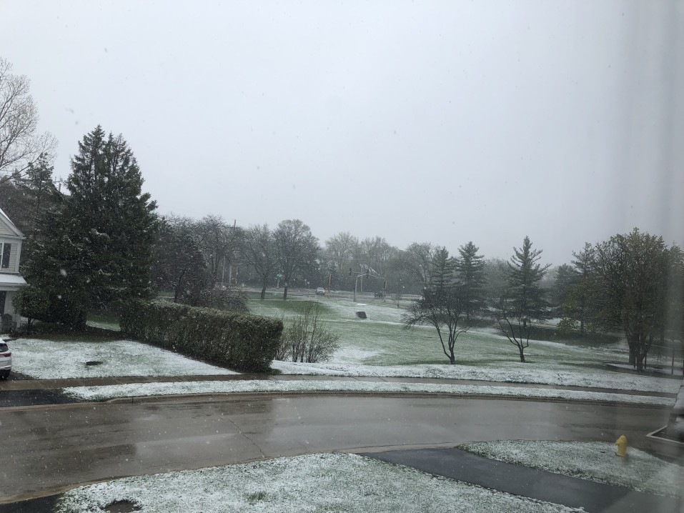
Sunday night into Monday morning moisture will linger and temperatures will drop to near freezing. Some wet snowflakes are possible in the morning, particularly on our highest area hills in the Kirkland-Bellevue-Woodinville area such as Finn, North Rose, Houghton Highlands, or out toward Duvall and the eastern edges of wine country. Anything that falls will likely not stick to the roads and will only be dusting.


The chance of snow for Wednesday we’ve been watching has disappeared, and Wednesday is looking like a dry day with some possible sunbreaks. There is nothing in the forecast model for the next ten days to indicate any chance of significant lowland snow, but late next week is looking wet and cold, with lows in the mid-30s and a lot of rain.