Tag Archives: mountain weather

Coming storm to bring less wind and rain, but a lot of mountain snow

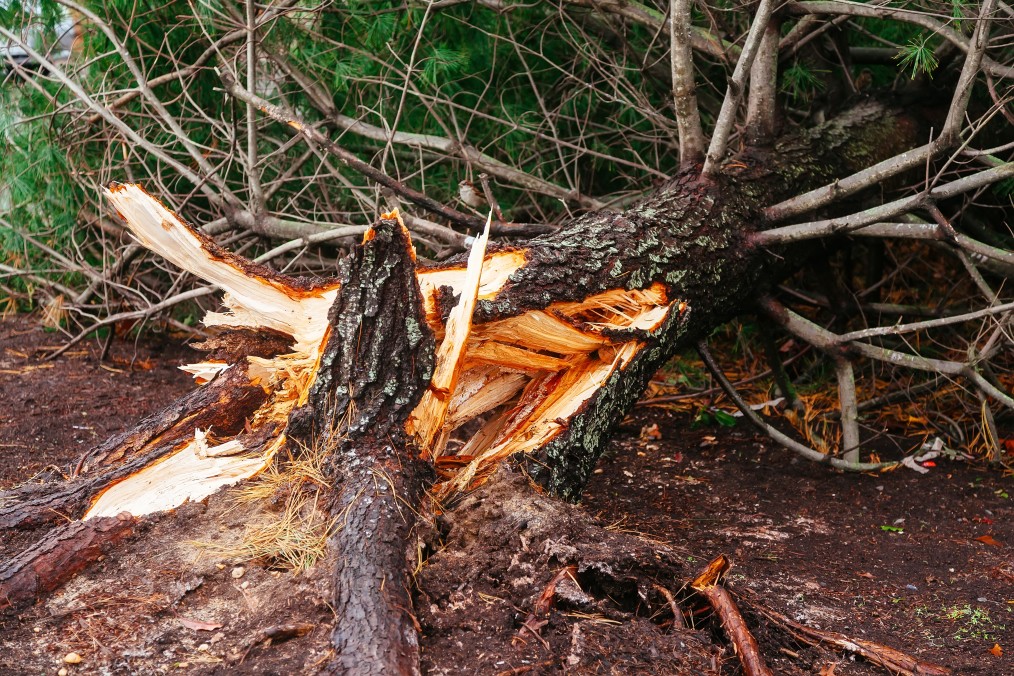
French Toast Emergency for minor wind event – we give this system 3 squirts of syrups out of 10.

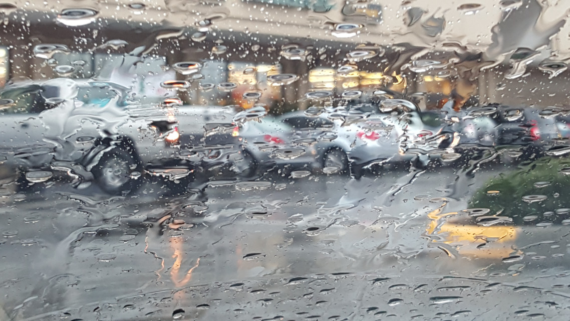
Puget Sound is set for a windy and wet end to the week but won’t experience a devastating windstorm. The one-two punch coming to Puget Sound is on the right track and carrying plenty of moisture but won’t reach the intensity models predicted earlier in the week.

Computer models have reached an agreement that the storm will track north of Seattle and cross Vancouver Island in British Columbia. Had the storm intensity models delivered, we would be looking at a major event that would rival November 2006. Computer models now forecast barometric pressure in the 990s, which is a garden variety November storm. However, this system is bringing one surprise to the Cascades – snow.

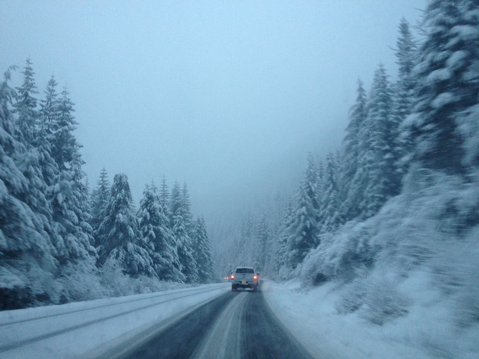
On Thursday, the rain will start for the lowlands, and the temperature will struggle to get out of the mid-40s. For the Cascades, the snow level will be 2,500 to 3,000 feet. The forecast calls for 8 to 16 inches of snow at all the passes, and Winter Storm Warnings are already posted.

Friday is the main event. The storm system that will bring some wind to the region is stuck in the Pacific and still almost a thousand miles away, but will roar into the area late Friday afternoon. The circulation center will pass over southern British Columbia, which puts the Puget Sound lowlands on the “bad” side. Computer models put us right on the line for a Wind Advisory, but I’m not convinced. Wind gusts to 40 MPH are possible, and that’s enough to knock out power in the typical trouble spots such as Finn Hill in Kirkland.

Once again, the Cascades and mountain passes are looking at a major snow event. Snow levels to rise to 3,000 to 3,500 feet, with another foot or more of snow possible. The Winter Storm Warnings posted will almost certainly be extended (or replaced by a Winter Weather Advisory and then upgraded to a Winter Storm Warning)

The rest of the weekend looks unpleasant but typical for November. Saturday will bring showers, which will let up in the afternoon. Sunday and Monday are looking to be total washouts, and for now, the computer models are showing rain for the next ten days.

Significant weather event likely on Friday the 13th

The remnants of Tropical Storm Atsani is charging across the Pacific Ocean, on a collision course with the Pacific Northwest. Although Atsani lost all tropical characteristics days ago, the energy and moisture it collected are expected to arrive Friday in a two-day weather event.

The challenge in forecasting wind storms in western Washington is that the center of circulation’s location determines our region’s impact. If the storm passes to our north, close to the southern tip of Vancouver Island in British Columbia, we get the brunt of a wind event. If the storm passes to our south, up the Columbia River basin, Oregon receives the brunt of the wind. An error in the forecasted path of just 50 miles is the difference between a significant wind event and what we like to call “a nothing burger.”

Typically the computer models aren’t in agreement on the “where,” which is the case with the Friday forecast. The GFS model, which hasn’t been the most accurate for our winter weather, forecasts a significant, possibly historic wind event, with the storm passing over Vancouver Island. The Euro model, which was stellar a few years ago but has lost some accuracy, predicts Oregon will receive the most impact.

It is too far out with landfall still 72 hours away to narrow down the track, but here is what we do know. Forecast models put central pressure at landfall between 973 and 983 millibars – that is significantly more intense than Tropical Storm Eta when it crossed the Florida Keys. Barometric pressure this low is typically associated with Category I and Category II hurricanes (our November wind storms have nothing related to the mechanics of a tropical system, even if they are often the remnants of tropical systems).

Wave height forecasts for Friday and Saturday are, in a word, alarming. Some computer models forecast heights of 45 feet off the Oregon coast, with some models predicting higher than 50 feet.

What should you know? For central Puget Sound, there is growing potential for a significant weather event on Friday and Saturday. More specifically to the eastside, the chances for power loss, tree, and property damage is increasing and require a close watch. Along the coast, damaging waves that will cause low area flooding, erosion, and large debris to wash ashore and shift are likely, with the where being the bigger question. The Cascades can expect wind and mountain snow, and a lot of it. The storm track will determine the snow level, but anyone planning to cross the passes this weekend should consider leaving a day early.

Opening the new SH-520 bridge to relieve wind and wave stress is no longer required, and the latest design also prevents waves from over-topping the railings. Also, with reduced traffic in general due to COVID-19, regional travel shouldn’t be too challenging during the evening commute.

The weather model we prefer? That model shows the storm passing to our north but at the lower end of the strength forecast. We will continue to update this growing situation.

Skiers rejoice – snow is coming to the Cascades

A cold and wet weather pattern has moved into western Washington, bringing lowland rains and mountain snows. Monday night will see snow levels drop to 2000 feet, enough for the white stuff to fall at all the passes (and our ski areas) through Wednesday morning. All of the passes and ski areas can expect six inches of snow to accumulate. On Wednesday, there is a break before the snow machine turns on again, with snow levels rising to around 3,000 feet. That’s right on the line for a rain/snow mix at Snoqualmie.

For the lowlands, Monday night and Tuesday are looking wet, with a break on Wednesday, followed by two more wet days at the end of the week. Friday is looking windy, but it is still too far out to say if we will see Wind Advisories in the lowlands.

Studded tires became legal again on Washington roads on November 1 this year, and if you plan to cross the passes, you should have a survival kit and tire chains packed. We will continue to monitor the situation.