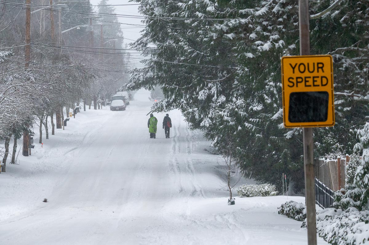
As Texas officials point to political issues, outside energy observers could see the looming humanitarian crisis that an Arctic blast would cause the state. At its peak, almost five-million customers were without power this week as ERCOT, the Electric Reliability Council of Texas, struggled to keep the grid from total failure. On Wednesday morning, 2.9 million were still without power as temperatures dropped to as low as zero degrees, and ERCOT announced more outages were coming.
Electricity comes to Texas
Galveston, Texas, got the first powerplant in the state in the 1880s, and electrification came slowly. An attempt to dam the Colorado River to power Austin was a failure when designers didn’t account for low water levels during the summer months. Power stations popped up to support cities and large towns, with a more significant effort to provide electrification for factories beginning during World War I. The independent utility companies began to link together, and the power grid in Texas was born.
In 1935, Congress passed the Public Utility Act (PUA) to end market power abuses over electricity distribution. Title II of PUA created the Federal Power Act, which created interstate electrical distribution regulations and defined federal and state jurisdiction to set wholesale and retail electricity prices. Three electrical grids were born, The Eastern Interconnection, the Western Interconnection, and the Texas Interconnected System.
Why did Texas create an independent grid
Texan energy producers didn’t want federal oversight for distribution, safety, plant construction, or pricing, so they created an independent grid closed to interstate transmission. At the time, the decision made sense. Texas was rich with coal, oil, and gas and could dam larger rivers such as the Colorado.
When World War II started, electrification accelerated in Texas to help with war production. During the war, Texas was allowed to operate under an exception and connect to out-of-state power grids. The electrical system in Texas operated without minimal oversight and regulation until a series of events from 1965 to 1976 changed the landscape.
On November 9, 1965, a 230-kilovolt transmission line in Ontario, Canada, “tripped,” which send a cascading failure through the power grid in Canada and the northeastern United States. In a matter of minutes, 30 million people were without power. It was the largest non-disaster-related power outage in history until 2003. The simple failure exposed how vulnerable the United States electrical grid was, and in many ways, still is.
In response, the Electric Reliability Council of Texas (ERCOT) was created in 1970, and regulation came to the state. The grid run by ERCOT remains outside the reach of federal regulators. ERCOT regulates intrastate electrical transmission, and at the time of its creation, Texas had no interstate connections.
In 1976 a small Texas utility company deliberately sent electricity across the border to Oklahoma for a few hours. The “Midnight Connection” set off a legal battle that threatened to bring the state under federal regulation, but ultimately ERCOT and regulators prevailed. Additionally, Texas was allowed to maintain two small connections to the Eastern Interconnect as an outcome of the legal action, which remains today. Texas has two more additional links to Mexico, providing and sharing power to the neighboring nation.
How did Texas get into the current situation
Before fracking was perfected in the 2000s, light sweet Texas crude became harder to find, and oil was an expensive energy source. Coal mining operations in the state also decreased due to low-quality coal and operation costs. The Texas power grid increasingly moved to natural gas, which is cheap and plentiful. Additionally, natural gas power plants are more affordable to operate and produce fewer carbon emissions.
The lack of federal oversight created neglect within the power plants. Texas has experienced multiple cold snaps that have crippled electrical production in the past, including 1989, 2003, 2006, and 2011.
In 2011, widespread outages tore through Texas because electrical failures crippled the natural gas supply, coupled with demand. Power plants had to be taken offline as instruments, and cooling systems froze solid.
Power plants in Texas are built to operate in the blistering heat that blankets the state in the summer months. Under federal rules, Texas would require more robust winterization, but power operators are exempt from these regulations.
Fundamentally, power plants are steam generators that require a lot of water. Superheated steam at high pressure is used to spin turbines that produce electricity. The water then must be cooled to prevent the boilers from destroying themselves and then turned back into steam. If the water in these systems starts to freeze, the plants can’t operate.
After the power outages of 2011, ERCOT recommended several changes, including more robust winterization for power plants. The changes never happened because they were guidelines only and due to the cost involved. Some of the recommended changes, like installing heaters in wind generators to keep hydraulic fluids from freezing, were ignored.
According to ERCOT, over 50% of the electricity it generates is produced by natural gas. Historic demand created cooling in the pipelines that transmit the resource. Propane, a form of refined natural gas is actually used as a refrigerant in industrial applications. As demand skyrocketed the natural gas in the pipelines cooled and turned into a refrigeration system on a statewide scale. The pipelines literally froze, cutting off the gas supply and shutting down power plants. Once the pipelines froze, the frigid ambient temperatures kept them locked in ice.
Additionally, Texas deregulated electrical markets in 1999 under Texas Senate Bill 7 (SB7). The bill unbundled the state’s vertically integrated public utilities and created a fully deregulated retail market. This action split generation providers (companies that make electricity), transmission owners (companies that own the distribution infrastructure), and retailers (companies that sell electricity) apart in most markets. This change represented complete free-market enterprise for 70% of Texas residents.
Electricity pricing in Texas has become cutthroat, with consumers only interacting with a retailer in most markets. By 2017, 92% of Texans had changed their electrical provider at least once, seeking lower rates. Risky retail schemes were created by companies such as Griddy. Griddy enabled their retail customers to buy electricity at wholesale market prices. The benefit was rock bottom rates unless demand outstrips supply. When that happens, retailers have to purchase electricity on the spot market at higher rates. On Monday, Griddy advised their 29,000 customers to leave or face electrical bills that could be in the thousands of dollars due to the explosion in wholesale pricing.
What happened on February 14
To use a cliche, it was a perfect storm. Power plants require a lot of maintenance, and sometimes to perform that maintenance, plants have to be taken offline. Operators plan these major overhauls during times of low demand. In Texas, that time is in the winter months. Before the devastating winter storm’s arrival, about 14 gigawatts of power generation were already offline.
As temperatures plummeted, ERCOT leaders knew they had a crisis on their hands. At times of high electrical load, businesses have agreements with power utilities to shut down operations to help keep the grid from getting overloaded. In Texas, auto manufacturers and others were asked to shut down operations as temperatures dropped, but it wasn’t enough.
Cash starved electricity producers started to experience mechanical failures as power plants literally froze. Coal, natural gas, oil, and even a nuclear plant went offline as instruments and water systems froze solid. The outages created another impact that made the situation worse.
As the power failures cascaded, power for natural gas distribution also failed. The supply shrank just as struggling electrical producers needed more gas to stay operational. With demand skyrocketing and supply shrinking, spot market prices for natural gas gyrated widely. Some power plants went offline because the cost to continue to operate was too high.
At the peak, about 25% of the power generation lost was wind-driven. Wind farms started to shut down as the turbine blades iced over, reducing their aerodynamics. In some edge cases, the non-winterized turbines themselves began to freeze.
Coupled with failing transmission lines both due to the weather and from overloads causing systems to trip, rolling blackouts to save the grid no longer became possible. The electrical system essentially collapsed.
Over 40 gigawatts of electrical generation went offline at its peak, sending millions into the dark statewide. Ironically, the fully deregulated free market created a Soviet-era-grade electrical grid. Years of neglect, lack of investment, and lack of oversight by and of ERCOT resulted in a system incapable of dealing with this type of disruption. In the Eastern Interconnect and Western Interconnect, operators can cope better with a loss of electrical generation capacity. Interstate connections enable the purchase from a broader market to shore up demand during outlier events.
The human cost
By Tuesday morning, the situation in Texas was moving from bad to worse. 911 systems were being flooded with calls by frightened and freezing citizens asking when electricity would be restored. For the few homes with natural gas for heat or hot water, gas line pressure failed. The same deregulated markets mean most electrical retailers won’t “buy” excess powers from homes with solar. So despite Texas being a mecca for solar energy, deregulation eliminated the cost incentive to install solar panels.
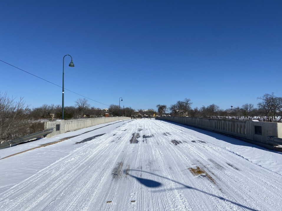
On Tuesday, Abeline, Texas, was without electricity, running water, and almost no cell service as temperatures dropped into the teens. On Wednesday, the residents of Houston, Texas, the fourth largest city in the United States, were told they need to boil their water. The electricity to run the water purification plants had been cut off for too long. Residents without power are being advised to buy bottled water and not drink from the taps. The city remains paralyzed with ice-covered streets littered with downed powerlines, and stores were already rationing bottled water before the boil order.
Many homes eliminated landlines phones years ago, relying on cellular and VoIP. Emergency generators are used to power cell towers in the event of a power outage. The generators typically run on diesel fuel or natural gas. In Texas, the towers are running out of fuel, so residents are losing their phone connections.
In Houston, hospital officials declared a mini-mass casualty event as emergency departments have become flooded with carbon monoxide poisoning victims, many of them children. At least 11 people have died from poisoning, fires or have frozen to death in Houston alone.
The political blame game
Republican leaders and right-wing media outlets have been quick to pounce upon the Green New Deal and wind power as the reasons for Texas’s electrical failures. Indeed, the national push for electrification of transit, cars, and heating will be considered in the aftermath. There are political reasons why Texas’s electrical grid has failed, but it isn’t because of the “Green New Deal.”
George W. Bush became the governor of Texas in 1995, and Republicans have run the state ever since. The state has an independent power grid purposely built to avoid federal regulation. Rick Perry, former governor of Texas, was the Energy Secretary for the United States during the Trump Administration.
The Energy Independence and Security Act of 2007 was architected by former Vice President Dick Cheney and signed by President George W. Bush. The act set stricter fuel economy standards for cars and trucks, created incentives for consumers to buy hybrids and electric vehicles, and helped companies like Tesla grow into a juggernaut. It set new renewable energy standards, pushed for solar and wind power, and set standards for appliances and lighting that eliminated the incandescent lightbulb. It increased some taxes and permit fees for oil exploration and set new home and commercial property construction standards.
On Monday, former Energy Secretary Perry went on Fox News to talk to Tucker Carlson and blamed wind generation as the cause of the crisis. Mid-interview, to Tucker Carlson’s glee, the former secretary lost power and connection to the studio. During an interview with ABC affiliate WFAA on Tuesday, current governor Greg Abbott eviscerated ERCOT to a freezing Texas audience. He called the handling of the current crisis by ERCOT “completely unacceptable.”
The governor declared ERCOT reform as an emergency item for the next legislative session and has called for a wide-reaching investigation into what went wrong. Other Texas leaders agree, calling into question the actions and communication plan from ERCOT. However, when Governor Abbott went on national television the same day, he toed the GOP line and blamed wind power and the Green New Deal for Texas’s power outages.
What is next
In the short term, the critical issue is restoring the power. Cold weather continues to grip the state, leaving plants frozen, roads ice-covered, and power lines down. About three million people are still without power, and ERCOT announced this morning that power would be going out for more people today, not less.
Texans aren’t having it when it comes to the excuses from government officials. While the suburbs are shivering, they can see the glow of empty office buildings rising from Texas cities’ downtowns. In Galveston, Texas, officials have made a grim request. The medical examiner has requested refrigerated trucks to expand body storage. FEMA is responding to a request for 60 emergency generators to prevent hospitals and nursing homes from plunging into darkness. Hospitals and clinics have also reported that tens of thousands of COVID vaccination doses have spoiled after electrical power failed.
ERCOT CEO Bill Magness is defending the organization’s actions, correctly explaining that some shutdowns were required to prevent further damage to the electrical grid. Powerlines can handle a certain degree of overload but can explode like overheated elements in a toaster when pushed too far.
Meanwhile, in Moscow, it dropped below 20 degrees last night with snow that turned into freezing rain this morning. More freezing rain is in the forecast for tonight before it turns back into snow on Thursday. The Sam Houston Electric Cooperative reports only one home is without power. That’s Moscow, Texas, ya’ all.