Tag Archives: weather records

Hurricane Iota targets Nicaragua

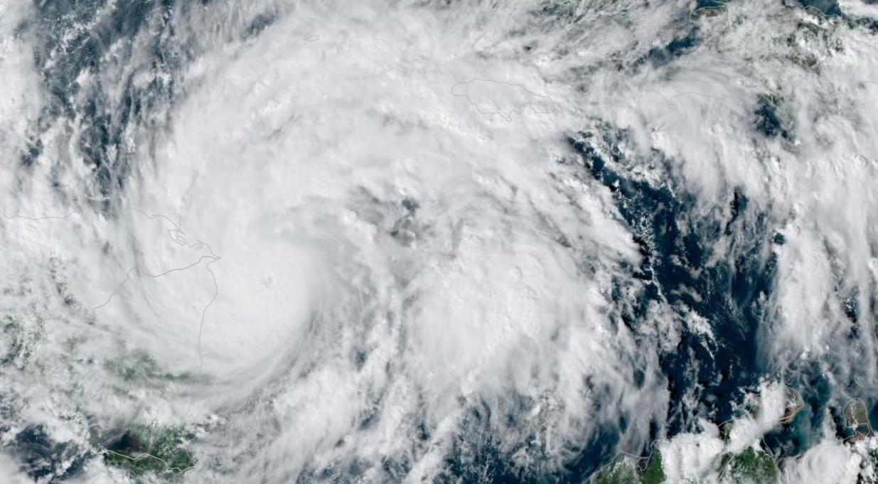
The 2020 Atlantic Hurricane Season continues unabated as the historic 30th named storm, Iota, targets Nicaragua and Honduras, only two weeks after Eta slammed the same region. In the latest update from the National Hurricane Center, Iota is 235 miles east-southeast of Cabo Gracias a Dios packing 105 MPH winds as a Category II storm. Forecasters expect Iota to pass over Isla de Providencia, Columbia overnight.

Forecast models predict that Iota will make landfall on Monday night in Nicaragua as a Category IV storm with 140 MPH winds. Hurricane Warnings extended from Isla de Providencia, most of the Caribbean coastline of Nicaragua and Honduras. Models indicate Iota will drift across Central America before dissipating over El Salvador by the middle of the week.

Many of the forecast models for 2020 have been conservative. When Eta struck Nicaragua, it was forecasted to arrive as a Category III storm. Instead, it roared ashore with 150 MPH winds as a strong Category IV storm. Two weeks ago, over 150 fatalities were reported from Mexico to Belize from flooding and mudslides. The Nicaraguan coastline residents are still waiting for aid from the Ortega-led government with their lives and homes shattered.

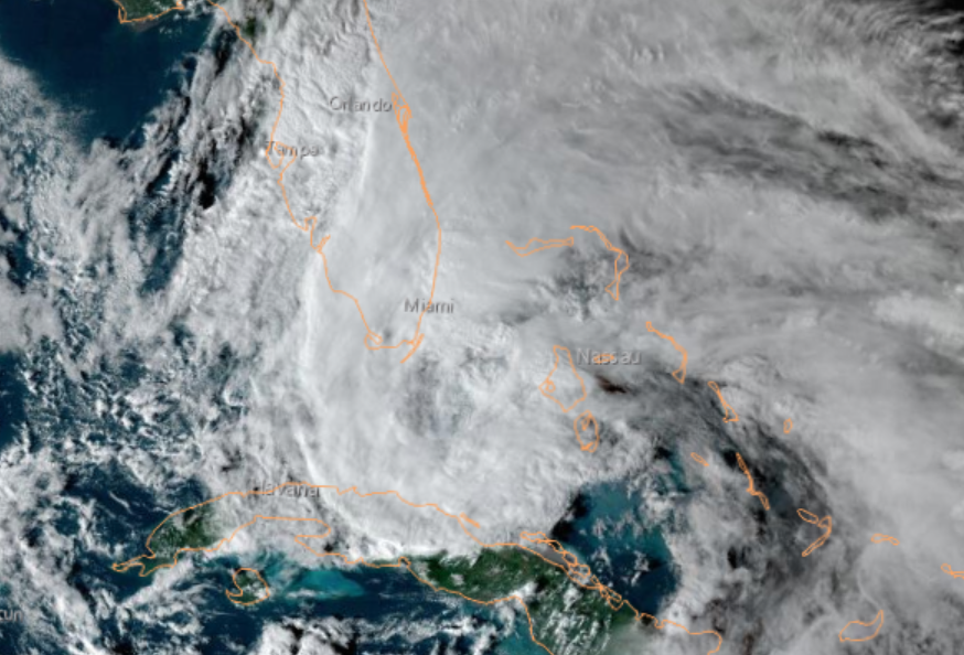
The 2020 Atlantic Hurricane season has been unprecedented, producing 30 named storms so far, with 12 systems making landfall on the United States. Iota is not expected to be a threat to the United States or be a rare “cross-over” storm that reforms with tropical characteristics when it reaches the Pacific.

Tropical Storm Theta shatters single season hurricane record

Tropical Storm Theta became the 29th named storm of the 2020 Atlantic Hurricane Season, shattering all previous records going back to 1850. Located 795 miles southwest of the Azores with winds of 70 MPH, Theta is not a threat to land and forecasted to weaken over the next five days.

The 2020 Atlantic Hurricane Season has been the most active in history, with 12 named storms making United States landfall so far. Late Sunday, Tropical Storm Eta passed over the Florida Keys, bringing torrential rains and flash floods. In addition to Theta and Eta, the National Hurricane Center is watching a tropical wave in the southern Caribbean.

Tropical Storm Eta is almost stationary off the western tip of Cuba. Forecasters currently believe that Eta will struggle to become a hurricane again while remaining a threat from Alabama to Florida.

Hurricane Eta sets sights on Florida for a one-two punch

Hurricane Eta, the 28th named storm of the 2020 Atlantic Hurricane Season, is set to become the 12th named storm to strike the United States on Monday. At 1:00 PM PST, Tropical Storm Eta was located about 225 miles south-southeast of Miami, with maximum sustained winds of 65 MPH. Forecasters at the National Hurricane Center predict Eta will cross the Florida Keys at a minimal Category I hurricane.

Hurricane warnings extended across the Florida Keys from Ocean Reef to Dry Tortuga, including Florida Bay. Additionally, the weather service announced Tropical Storm Warnings from the Brevard/Volusia County line to Englewood, including Lake Okeechobee. After striking the Florida Keys, forecasters predict Eta will hit the Florida coast for a second time later this week.

Hurricane Eta battered Guatemala, Nicaragua, and Honduras before reemerging in the Atlantic as a tropical depression. In Guatemala, government officials reported at least 150 people were dead or missing as devastating floods and mudslides tore through the Central American nation. Official news from Nicaragua, where state media has suppressed information, has been scant with reports of only three fatalities. Honduran officials have reported at least 23 deaths and expect the death toll to rises. The Mexican government said as many as 20 deaths and Costa Rica claimed two Eta related deaths caused by a mudslide.

2020 has been a historic hurricane season, tied for the most storms in a single Atlantic hurricane season and the most named storms to strike the United States in a single season. Eta will mark the 12th storm to make US landfall; a typical hurricane season has roughly two per year. In the Atlantic, forecasters are watching two more tropical waves, creating the potential for the 29th and 30th named storms.

You can follow Hurricane Eta at the NOAA website.

Historic Hurricane Eta sets sights on Nicaragua

Hurricane Eta is the 28th named storm of the 2020 Atlantic Hurricane season, tying the record for the most named storms in a single season. At 10:00 AM PST, Eta was 85 miles from the Nicaragua-Honduras border with winds of 120 MPH and heading west at 9 MPH. Forecasted predict that when Eta makes landfall near Puerto Cabezas in Nicaragua, Eta will be a Category IV storm with winds of 140 MPH, a storm surge of 12 to 18 feet, and bringing as much as 35 inches of rain to the mountains of Nicaragua.

Nicaraguan officials order evacuations along the Caribbean coast of Nicaragua, a semi-autonomous zone with pockets of crushing poverty. Puerto Cabezas is home to 60,000 people, and officials have set up evacuation centers in churches and schools.

Forecasters, state officials, and humanitarian organizations are most concerned about the amount of rain Eta will bring to the region. With the hurricane expected to slow as it approaches Nicaragua, river and flash floods along with mudslides are of grave concern.

Nicaragua suffered more than 3,800 deaths when Hurricane Mitch made landfall in 1998, causing devastating flooding. It took the nation almost 15 years to rebuild infrastructure, and as recently as 2018, was considered a rising star of economic power. In April of 2018, civil unrest rocked Nicaragua when the Ortega regime slashed social security benefits. Widespread protests were met with a violent reaction by government irregular forces, armed militias, imprisonment, torture, and rape. Since the summer of 2018, global economic sanctions and travel advisors have destroyed the budding tourism industry.

Hurricane Eta is expected to cross Latin America and enter the Pacific Ocean later this week, creating the potential for a rare “cross over” hurricane. If Eta can regain tropical status, it would be only the 19th storm since 1842 to cross over and become, technically, a typhoon.

Hurricane Zeta makes landfall in Louisiana with 110 MPH winds

Hurricane Zeta strengthened significantly above forecasted models as a strong Category II storm with 110 MPH winds and higher gusts, making landfall in Cocodrie, Lousiana at 2:44 PM PDT. The compact storm has hurricane-force winds extending 35 miles from the center and was moving at 24 MPH. Evacuation orders along the Louisiana, Alabama, Mississippi, and Florida panhandle had been sparse based on forecast models, and officials now worried about thousands in harm’s way.

Hurricane Warnings, Tropical Storm Warnings, and Storm Surge Warnings have remained unchanged since Tuesday, extending from Mississippi to Florida. As of 2:00 PM PDT, Zeta was 65 miles south-southwest of New Orleans. Storm surge, responsible for most hurricane-related deaths, was forecasted to be 7 to 11 feet at the mouth of the Pearl River on the Mississippi-Alabama border, and 6 to 9 feet at Port Fourchon, located at the mouth of Mississippi River.

Zeta is the 11th named storm to make landfall in the continental United States, and the fifth system to hit Lousiana in 2020. The National Weather Service is tracking three tropical waves across the Atlantic, any of which could develop into the 28th named storm, Eta.

Zeta strikes Mexico, expected to return to hurricane strength

Hurricane Zeta made landfall along the northern tip of the Yucatan Peninsula in Mexico as a Category I storm with 80 MPH winds. Reports indicate minimal damage, with Zeta dropping 4 to 8 inches of rain before moving into the western Caribbean. The brush with land dropped the winds to 60 MPH, once again making Zeta a Tropical Storm, but restrengthening is expected with a collision course set for the Gulf Coast of the United States. 

The National Weather Service predicts Zeta will make landfall as a Category I hurricane with 80 MPH winds on Wednesday. Current projections indicate the eye of the storm projected to land between New Orleans, Louisiana, and Mobile, Alabama. Hurricane forecast is challenging, and residents from the Texas-Louisana border to Florida’s panhandle should be preparing.

Hurricane Warnings extend from Morgan City, Lousiana to the Mississippi-Alabama border. A Tropical Storm Warning extends from the Mississippi-Alabama border to the Klakoosa-Walton County line in Florida. A Storm Surge Warning stretches from the Atchafalaya River’s mouth to Navarre, Florida, and includes Lake Pontchartrain, Lake Borgne, Pensacola Bay, and Mobile Bay.

Hurricane Zeta will be historic, being the 11th named storm to make landfall in the United States during the 2020 hurricane season and the fifth tropical system to arrive in storm-battered Louisiana.

Weather records are already falling

The weather is not climate.

Climate is not the weather.

We sure have been using a lot of Wite-out and erasers in the record books this year, and after the record high of yesterday, new records were set just as the sun was rising on the 12th of June.

Seattle-Tacoma International Airport set a record for the warmest low temperature for June 12, where the mercury dropped only to 65 degrees for a few minutes. That beat the old record of 56 degrees and was the fourth warmest June low temperature since weather records have been kept in Seattle.

The official forecast is for 89 degrees, but as I’ve written previously the computer models don’t do a good job of capturing the impact of thermal troughs on our high temperatures, and forecast low. We saw that yesterday with an official forecast high of 83, and an actual high of 87.

We have more cloud cover today that helped hold the heat in overnight, and will moderate our temperatures, slightly. That’s the wild card, how much cloud cover, for how long, and does it thicken up during the heat of the day. There is the slimmest chance of some showers drifting off of the Cascades this afternoon, but the humidity is very low so they’ll have a hard time not falling apart as they drift west.

If we don’t get thickening clouds between noon and 6 PM, expect the official high to land between 92 and 93 degrees, the forecast is 89. This will break the KSEA record of 85, and the Federal Building record of 88. As for Kirkland you can expect the entire community to hit 90 day, unless we get some stray drops. Wouldn’t surprise me to see Totem Lake around 93 or 94 -our area hot spot.

Stay cool and remember:

  • Juanita Beach is still closed due to e-coli contamination
  • Area lakes and rivers are still cold, be careful when swimming
  • Don’t leave your pets in your car – not even for a few minutes
  • Don’t leave your kids in your car – not even for a few minutes
  • Haggard? Tired? Stressed? Double check that backseat before leaving home, especially if you have kids or pets – shit happens
  • Bring patience to your commute, this kind of heat will test the mechanical condition of vehicles and expect stalls and breakdown to fuck up our area traffic

Keep it cool!

Malcontent, out

Another round of record-setting heat is coming this week

The headline says it all. We have a classic thermal trough setting up on Tuesday, we cook on Wednesday, and the heat falls apart on Thursday. We started June slightly warmer than normal (two outlier days that were very below normal) and with a typical, June Gloom, pattern. There is almost no chance for rain in the next 10 days (anything past 5 days is throwing darts). There is a tiny chance of some drizzle on Friday right now, but even that is too far off to predict with confidence.

Let’s start with Tuesday. Winds will pick up and be out of the north but then die out around midday. Kirkland is looking at a high of 80 to 83, depending on your location. High hills and right along the water, think 80 degrees, Totem Lake, our hot spot, 83. Tuesday night we will only get down to 60 degrees with a blanket of clouds moving in.

Wednesday is a little complicated. The models are calling for clouds to hold for most of the day and little wind, so this is a weak thermal trough. We’re looking at record-setting temperatures of 86 to 90 degrees in Kirkland. At Seattle-Tacoma International Airport (KSEA) the official weather forecast is a high of 89 degrees. This would break the previous record of 85. As I’ve written in the past, the computer models don’t do a good job of capturing the impact of thermal troughs in the forecast and usually predict 2 degrees lower than actual, so right now, I’m pretty confident we will see our first “official” 90-degree day on Wednesday. If we get a little more east wind, or the clouds break up sooner, we’ll be hotter. If the cloud blanket is thicker than the models indicate, we’ll be cooler. Stay tuned.

Thursday the thermal trough moves east, but Kirkland will still hit 80 to 83 degrees with a near copy of Tuesday. Friday the winds shift to the west, northwest again and the marine air pushes back in. That gives us our very slight chance for some morning drizzle on Friday, but nothing that will move the needle on our growing rainfall deficit.

Please remember for the heat:

  • You can still get sunburned on a cloudy day. Wear your damn sunscreen because Seattle is practically the skin cancer capital of the United States.
  • Don’t leave your pets in your car. No having the window open isn’t enough. No, I just went in for five minutes doesn’t cut it. On a 90 degree day, the inside of your car can soar to 130 or 140 degrees in minutes. That is death, a horrible, awful death.
  • I shouldn’t have to say don’t leave your kids in the car — I really shouldn’t have to.
  • I shouldn’t have to say don’t throw your cigarette butts out the window when you drive because they can start a fire when the air is dry and warm, but it needs repeating.
  • Area lakes and rivers are still dangerously cold. Please have a talk with your teens if they have swimming, river floats, or boating plans. Jumping into water under 50 degrees can cause a gasp reflex you can’t control, inhale a big mouthful of water, and that’s it. It happens every year, and it has already happened in 2019. These are senseless, preventable deaths.

Stay cool eastside!

Another record high likely to be set for May 10

The official high-temperature yesterday at KSEA (Seattle-Tacoma International Airport) was 83, which bested the old record of 81. We started at a low of 57 (like yesterday) this morning, but there are some key differences. We have a very light wind coming from the southeast today and almost no chance for cloud cover unlike yesterday, which dropped midday temperatures at Seatac 3 degrees.

The official forecast high is 84, but as I’ve written in the past regional weather models don’t seem to capture the onshore flow forecasts that well, so my prediction is Seatac will get to 86 today. That easily bests the May 10 record of 83 degrees.

Kirkland will see a range of 81 to 88 depending on your microclimate. Down by the water, and the high points on Finn Hill and Kenmore will see lower temperatures. Our area hot spot of Totem Lake will likely get into the high 80s today.

Tomorrow is going to be even hotter. Stay cool Malcontents!

A new record high for May 9th

It won’t be officially in the record books until tomorrow morning, but unofficially KSEA (Seattle-Tacoma International Airport) reached 83 degrees today, beating the old record of 81.

Tomorrow will be hotter, with the record of 83 almost certain to be broken. Saturday appears to be even hotter, with the old record high of 87 at risk.

Stay cool out there!