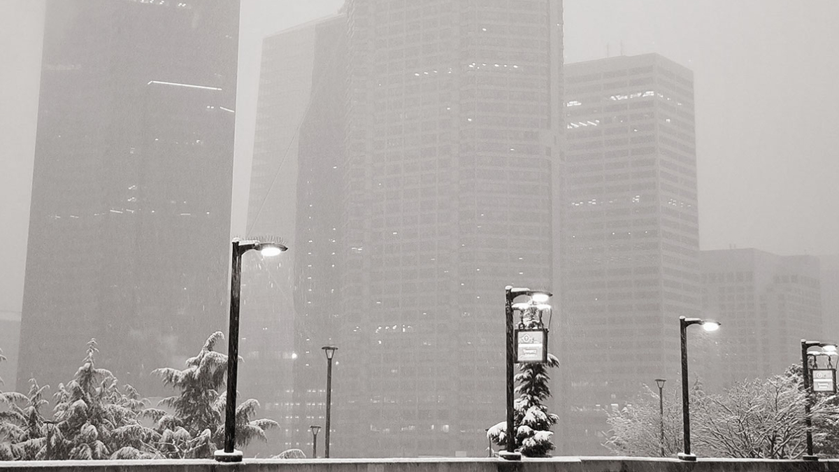
The snowstorm arriving on Friday could be the biggest event since February 3, 2019, when the Super Bowl storm blanketed the central lowlands. Cold air is spilling into Puget Sound from British Columbia tonight and will be entrenched at least until Monday, just in time for thee systems to pass through the area.
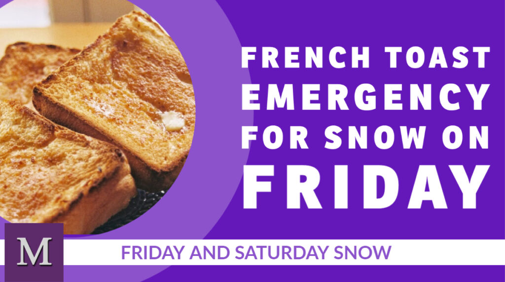
Malcontent News is issuing a French Toast Emergency for Friday
The first system is arriving on Thursday, and for the Seattle-Bellevue area will be a non-event. The day will start cold with the first hard freeze this winter season. Temperatures will be 23 to 26 before getting to 34 to 36 degrees. .Seattle should see a cloudy day with a slim chance of a few flakes in the afternoon but no accumulation. Further south, Tacoma is forecasted to receive 1 to 3 inches and Portland, Oregon 3 to 5 inches.
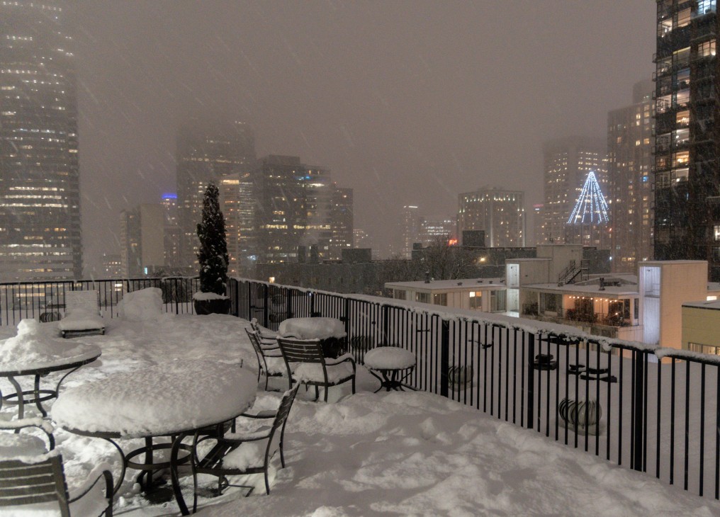
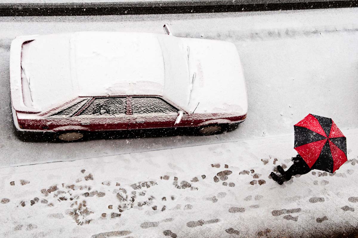
Friday is the main event, with the entire region poised to receive significant snow. The storm will move in from the south. For Portland, Oregon, the two systems will arrive back-to-back with almost no break. For the Seattle-Bellevue area, snow will arrive between 11 AM and 1 PM and continue to spread northward. Portland, Oregon, is poised for a significant storm, with snow totals of 10 to 14 inches. Tacoma will receive 7 to 10 inches, and the Seattle-Bellevue area 5 to 8 inches.
Our hyperlocal forecast for Kirkland-Bellevue-Woodinville projects 5 inches of snow in Woodinville, Kenmore, Juanita, Finn Hill, Kingsgate, and along the downtown waterfront. Rose Hill and the Houghton Highlands should expect 6 inches of snow, and Bridle Trails should expect 7 inches. Downtown Bellevue will see 5 to 6 inches of snow and amounts increasing as you head south toward Factoria. Crossroads in Bellevue should expect 7 inches. Slightly smaller totals should be expected in the northeast corner of Woodinville.
Saturday will see more snow with an additional 1 to 3 inches for the Seattle-Bellevue region before ending around 1 PM. Tacoma will see another 2 to 4 inches ending around 3 PM. Portland will transition to rain in the afternoon for a few hours before changing back to snow after sunset. The system should start to move out of the Rose City by 8 PM on Saturday.
Travel will be difficult through the entire region along the I-5 corridor and over the mountain passes. In Portland, winds of 20 to 30 MPH, with higher gusts, will create dangerous conditions. Travel on I-84 on the Oregon side and SH-14 on the Washington side of the Columbia River may be near impossible where winds could top 45 MPH.
Sunday into Monday, a third system will arrive. The weather models have very little agreement on what will fall from the sky on Sunday afternoon. Temperatures will be warmer than Saturday but still below average. There is the potential for more snow, but a sloppy wintery mix of snow, sleet, and freezing rain looks more likely. What and how much will depend on the storm track and elevation creating a very challenging weather forecast.
What to do with the leftover milk, bread, and eggs you horded
A series of three storm systems are bringing snow to the Seattle area from Thursday to Monday. The storm systems will be passing to the south of Seattle, bringing the heaviest snow to Tacoma and through southwest Washington, and further south to Portland, Oregon. The Seattle area could see 4 to 8 inches of snow from Thursday to Saturday, Tacoma 8 to 12 inches, and Portland, Oregon, 14 to 18 inches.
The National Weather Service has posted a Winter Storm Watch for Pierce County and points south, with the potential for up to 8 inches of snow in the Tacoma area on Thursday and into Friday morning. Lesser amounts will fall in Seattle and Bellevue. Temperature models have moderated from earlier this week. The urban core of the Puget Sound lowlands will still experience a hard freeze starting Wednesday night.
Closer to our local area, Wednesday will be mostly cloudy for the Kirkland-Bellevue-Woodinville area, with a high temperature of 39 to 42 degrees. Wednesday night will have cloudy skies, and temperatures will drop to 23 to 26.
Thursday will see snow moving into the area from the south. Models indicate snow will arrive in the Seattle area from 11 AM to 1 PM and increase to a peak during the evening commute. Light snow will continue into Friday morning, with this event bringing 2 to 4 inches to our region. Areas south of Kirkland and Shoreline will get more snow, increasing significantly south of Federal Way. The high will only get to 33, so this will be a snow event for everyone.
Thursday night temperatures will drop back into the mid-20s, and Friday will struggle to get above 30 degrees with some sunbreaks. The next round of snow is the strongest of the three systems. It will arrive between midnight and 2 AM on Saturday with 2 to 4 inches of snow in the Kirkland-Bellevue-Woodinville area tapering off in the early afternoon. Like all three systems, the further south you go, the more snow in the models, with Vancouver and Portland seeing 8 to 12 inches from this system.
A third system will arrive on Sunday night. This one is too far out to forecast with accuracy, but models indicate this will pass closer to the Seattle area. Temperatures are on the edge of supporting snow, so it is possible for a wintery mix before a transition to rain on Monday morning.
Kirkland-Bellevue-Woodinville residents should plan for 4 to 8 inches of snow between Thursday and Saturday, with very little melting between each day. Sunday’s models are indicating a more significant event with 3 to 5 inches possible. For now, you should stay tuned.
If your weekend travel plans including heading south on I-5 or crossing the mountain passes, particularly Snoqualmie, you should have a winter survival kit in your vehicle. That includes tire chains as required and crossing the pass with a full gas tank (or battery charge). Travel south of Olympia could be very challenging on Friday.
After a tepid and bland winter where La Nina has hardly made an appearance, an Arctic blast is on tap this week. The Seattle-Bellevue area may see the coldest low temperatures since 2014 and the first day not getting above freezing in a decade. Computer models are growing in agreement and possible accumulation numbers for a snow event on Friday.
A Malcontent News French Toast Watch is in effect from February 8 to February 13
From 10 PM to 2 AM tonight, there is a slight chance of some lowland snow in the Kirkland-Bellevue-Woodinville area. Woodinville is under a Winter Weather Advisory. There appears to be a sputtering convergence zone attempting to form on the King-Snohomish County line, but a more substantial zone south of Seattle dominates the current weather pattern.
Monday will be partly-cloudy with highs into the low 40s and lows on Monday night close to freezing. Tuesday will be a repeat of Monday, with clouds forming late in the day. A weak system will pass through on Tuesday night, carrying very little moisture, but bringing bitterly cold air.
The weather models are increasingly in agreement that there will be lowland snow showers on Wednesday morning, but not enough to cause travel problems. Highs on Wednesday will get to the mid to high 30s. Wednesday night will drop into the low 20s through the region.
Thursday will be cloudy as cold air and more moisture spills into our region. Temperatures will struggle to get to 30 degrees in the urban centers and along the lakeshore. Areas away from the water and our higher hills won’t get above the 20s. Models are increasingly in agreement that snow showers will move in late on Thursday as temperatures drop to around 20 degrees, lower to the east and in the hills.
A “French Toast Watch” and “French Toast Emergency” is a local area measure to how significant a weather event will be. In Western Washington upon the first sight of snow, residents typically panic buy eggs, milk, and bread, clearing store shelves. These three items are the key ingredients to making French Toast. Historically the first time this type of panic buying was observed at scale was the Great New England Blizzard of 1978.
David obelcz – CCO
The forecast for Friday is too far out to predict with confidence. There is little disagreement in the computer models that it will be bitterly cold, only getting to 30 degrees for a high. Any precipitation that falls on Friday will fall as snow, and it will accumulate. Some models (including the model we trust) indicate the potential for 4 to 8 inches of snow on Friday and into Saturday morning. We will have a lot more confidence in our forecast by the middle of the week.
Looking past Saturday, there is a slight warming trend potentially next week, with a wetter system arriving. However, that system could start as a snow event before turning into rain.
Our live webcast from the Seattle Anarchist Jurisdiction
WARNING: This episode includes videos of police violence, child abuse, protest, and discusses domestic violence in detail – viewer discretion is advised.
The show from February 1, 2021, featured David Obelcz and our co-host Jennifer Smith.
Rochester, New York Police pepper-spray a handcuffed 9-year-old child – community outrage explodes as body camera video becomes available
Malcontented Minutes – our new speed round of news
The state of Texas has things go very wrong when they issue an Amber Alert for Chucky – yes the murderous horror movie doll Chucky
Redditors go after silver commodity trading as a new tactic in their fight against hedge funds
Missouri Museum of history launches an online exhibit of LGBTQIA history in the state of Missouri
Jason Raantz (Seattle) goes on a racist rant about how BLM education during Black History Month in Seattle schools is instilling the fear of police into a new generation of children
David Bell, a Black man, dies in a hospital parking lot in Missouri after emergency room physicians refuse to treat him on his third trip for breathing problems
President Biden replaces Andrew Jackson’s portrait with a Native American sculpture
The National Zoo in Washington D.C. releases a video of a panda playing in the snow
LGBTQ activist Carmen Vasquez, 72-years old, dies of COVID-19
Data breach exposes the private personal identification (PII) of 1.6 million Washingtonians who have applied for or received unemployment for almost all of 2020, including bank account numbers and ID information
Birth certificate controversy over Archie, the child of Prince Harry and Meghan Markle explodes in tabloid press
Chad Wheeler domestic violence assault update as his victim faces him in court for the first time
COVID-19 Five Fast Facts
Reading recommendations for Black History Month
David and Jennifer provide their insurrection update
Enjoy the rest of Saturday if you can because colder and wetter weather is coming, but not cold enough. After some areas experienced their first hard freeze of the winter season last night, Puget Sound is enjoying a perfectly sunny day today. All of that will come to an end tonight.
On Saturday night rain showers will move in turning into a light steady rain overnight. Sunday is wet, with small break midday for a few hours when another round of moisture moves through on Sunday night.
Sunday night into Monday morning moisture will linger and temperatures will drop to near freezing. Some wet snowflakes are possible in the morning, particularly on our highest area hills in the Kirkland-Bellevue-Woodinville area such as Finn, North Rose, Houghton Highlands, or out toward Duvall and the eastern edges of wine country. Anything that falls will likely not stick to the roads and will only be dusting.
The chance of snow for Wednesday we’ve been watching has disappeared, and Wednesday is looking like a dry day with some possible sunbreaks. There is nothing in the forecast model for the next ten days to indicate any chance of significant lowland snow, but late next week is looking wet and cold, with lows in the mid-30s and a lot of rain.
When it comes to forecasting snow in the Puget Sound lowlands, you should never say “never.” For the coming days in the Seatle area, the odds of it snowing early next week are slim at best. Monday is a little bit interesting, but it doesn’t appear all of the elements to produce significant lowland snow will come together.
Friday and Saturday will be pleasant for January. Both days will be partly to mostly sunny with highs in the mid-40s, while the low on Friday night will drop into the mid-20s. For the Kirkland-Bellevue-Woodinville area, it may be our first hard freeze of the winter season. Saturday will be warmer as a wet system arrives on Sunday.
Sunday looks like a washout, with rain through the day. The rain turns to showers and tapers off through Monday, with temperatures dropping close to freezing on Monday night. If there is enough stray moisture in the air, there is a chance for some wet flakes as the system moves out. Another forecasting wildcard is if a convergence zone sets up on Monday. Some models support this and show a burst of snow similar to our event in December.
Next week looks unsettled, and we have our eye on Wednesday, the 27th, for possible morning snow. Right now, that is too far out to make an accurate forecast.
January in Seattle has started historically wet and over 9 degrees above average, but both trends are coming to an end. After 7.45 inches of rain fell and highs reaching up to 57 degrees in the first two weeks, the region settled into a partly to mostly cloudy pattern over the past weekend. Some AI-based weather apps are indicating snow for the end of the week, but it is unlikely.
Monday and Tuesday will be seasonable and partly cloudy, with temperatures in the high 40s during the day and mid-30s at night. The entire week is looking dry for January, with Thursday the most likely day for rain showers. Long-range models indicate a cooling trend at the end of the week, but still seasonable.
Although it is too far out to be accurate, weather models indicate temperatures will drop into the low and mid-40s over the coming weekend, and we’ll get some moisture. Daytime temperatures won’t support snowfall and there isn’t a lot of moisture or energy coming into the region. We’ll keep an eye on the forecast, but we wouldn’t worry about finding a snow shovel for now.
Journalists, activists, and researchers defending the First Amendment
Subscribe to Malcontent News
Register to feed your head holes with the Malcontent News newsletter.
Submitting your e-mail address gives us permission to send you e-mails. We do not sell or distribute our e-mail lists or share them with third parties.