Category Archives: Weather

Intense cold front could bring burst of lowland snow

UPDATED – official high at KSEA was 59 degrees.

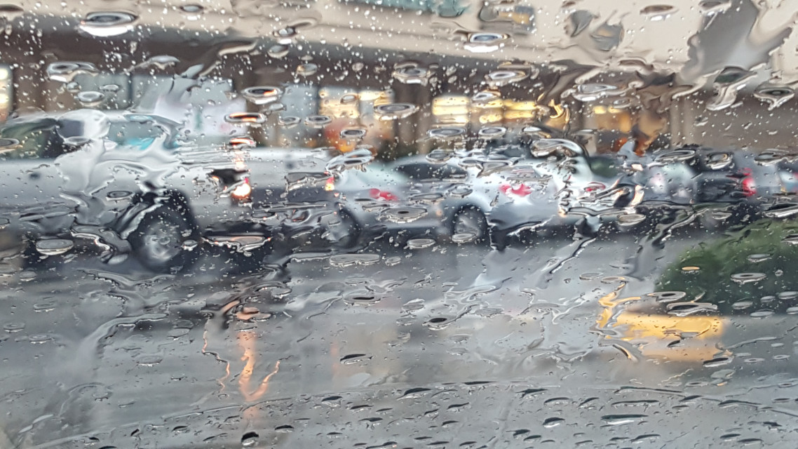
[KIRKLAND] (Malcontent News) – After setting an official record high of 59 degrees on December 21, an intense cold front could bring a brief but intense burst of snow into the Puget Sound Lowlands. The National Weather Service has issued a Flood Advisory for a storm system dumping one to two inches of rain through the afternoon into the lowlands. Areas of poor drainage and clogged storm drains could create pockets of urban stream and street-level flooding.  

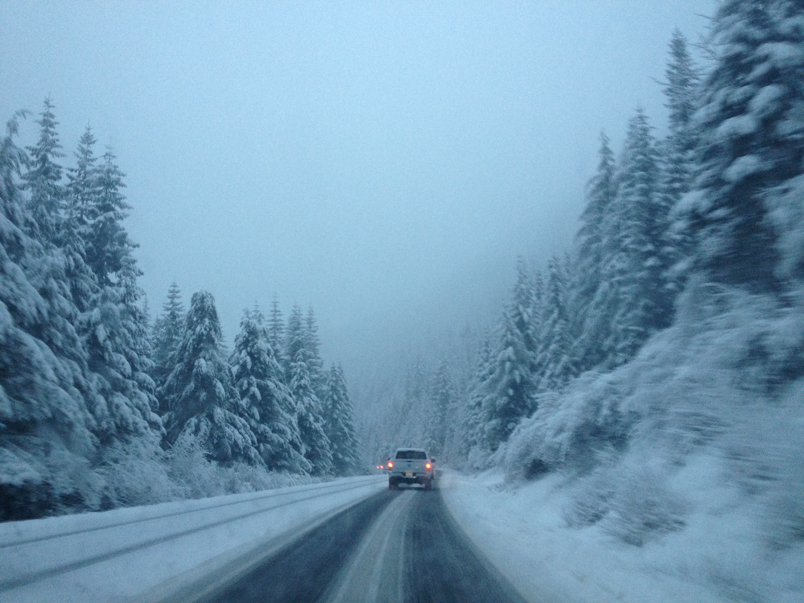
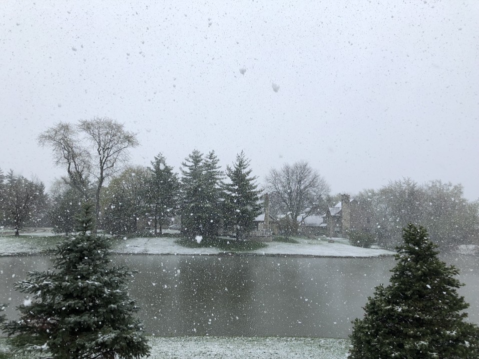
At 3:00 PM, it was 55 degrees with heavy rain at Seatac Airport, while less than 100 miles to the north, it was 34 degrees with heavy snow in Bellingham. A cold front moving from the north will bring dramatically colder air, and a Converge Zone is expected to form in the next couple of hours. Forecast models indicate that temperatures could drop 20 degrees in two to three hours.

The challenge of forecasting a Convergence Zone is determining its exact location. Colliding winds moving north and south through Puget Sound are left with nowhere else to go but up, creating bands of intense precipitation that can be just 10 miles wide. Areas in these zones can see heavy rain or snow, with calm conditions a few miles away. Typically these zones appear on the King-Snohomish County line. Original forecast models had the zone forming north of Everett today, but current models and weather radar indicate it could develop much further south. 

Areas that get heavy snow could see 1 to 3 inches of accumulation, which will likely melt quickly because surface temperatures are too warm. The intense snowfall could create short term travel problems with reduced visibility and slippery spots on less-traveled roads. Today’s weather system is very similar to storms that moved through the area on November 13, 2003, and November 27, 2006. The November 27 system crippled the Seattle area, turning highways and roads into parking lots filled with abandoned cars. 

Miserable weekend ahead with three storms passing through Puget Sound

[KIRKLAND] (Malcontent News) – An atmospheric river of energy flowing across the Pacific and will point a firehose at the Puget Sound lowland this weekend. A cold front will bring a burst of rain on Friday night, but that’s only a preview for Saturday, Sunday, and Monday. A Flood Watch is in effect for King County, with 3 to 5 inches of rain predicted for the Cascades.

For the Kirkland-Bellevue-Woodinville area, heavier rains will arrive between 2 PM and 4 PM tomorrow and continue into the evening. For the lowlands, you can expect half-an-inch of rain. South winds will increase through the day, reaching their peak between 10 PM and midnight. The National Weather Service has not issued a Wind Advisory, but we wouldn’t be surprised to see one issued for Saturday night into Sunday morning.

Sunday is more of a showery day with calmer winds, but over the 24 hours, another 3/10 to half-inch of rain will fall. Monday is looking like another washout with steady rain for most of the day, turning into showers in the early evening. Another half-inch of rain could fall, and it will also be windy.

Tomorrow would be a good day to check any local storm drains to make sure they are clear of leaves or debris. On Saturday night, it is possible for spotty power outages, especially in the usual trouble spots such as Finn Hill in Kirkland. 

One more day of sun before it becomes very December

The first week of December in Seattle has been one of the driest and warmest in history. Saturday will provide one more day of sunshine before a major shift in our weather pattern to wet, cool, and breezy happens.

November and December haven’t just been warm; so far, Seatac Airport has only been below freezing once, on November 29 for a couple of hours when the temperature dripped to 31 degrees. The forecast calls for temperatures to dip to 29 degrees tonight on the eastside, but still not cold enough or long enough for a hard freeze for the Puget Sound lowlands’ urban areas.

Saturday will bring partly cloudy skies with a high of 46 to the eastside. Closer to home in the Bellevue-Kirkland-Woodinville area, temperatures will range from 44 on the highest hills to 48 closest to the water, Totem Lake, and downtown Bellevue.

Sunday will be cool and wet, with a high of 44 and persistent rain through the day. The forecast models indicate rain, and a lot of it, as far out as we can see. Monday appears to be the best day next week, but it will still be cool with rain showers.

The first week of December was one of the warmest and driest in Seattle history. During the first seven days, Seattle hit a new record of 60 degrees on December 2 and got to 58 degrees on December 5. It rained on three of the seven days, but rainfall totaled just 6/100 of an inch. In December of 2011, Seattle went rainless during the first 7 days of the month.

La Niña off to a slow start in Seattle

La Niña, or the little girl, is a meteorological phenomenon where the Pacific Ocean off South America is colder than average. In a La Niña year, the jet stream, a river of fast-moving air that carries storms across the planet, passes over the Puget Sound area. Seattleites equate La Niña to endless dark rainy days, ice scrapers for the windshield, and snow swirling in the mountains passes. So far, in 2020, that hasn’t been the case.

Puget Sound will enjoy an unusual extended dry spell through the rest of the week. Thursday will be cloudy, with lowland fog settling over the region, with a few spots possibly getting drizzle. Friday through Sunday is looking mild, by December standards, and dry with plenty of sunshine. High temperatures could get into the mid-50s, while evening lows won’t dip below freezing for Seattle-Bellevue. If you’ve pushed off hanging holiday lights, you have a perfect weekend coming.

November was the last month of meteorological fall and delivered below-average rainfall to the region, with 5.27 inches at Seatac Airport. The average high temperature was a balmy 51 degrees, and Seatac only dropped below freezing once, for a couple of hours on November 29.

If 2020 is the winter of our discontent, weatherwise, it is off to a great start. However, a look into our crystal ball indicates that Tuesday could be interesting for a wind storm event, but it is still too far out to provide a firm forecast.

Coming storm to bring less wind and rain, but a lot of mountain snow

French Toast Emergency for minor wind event – we give this system 3 squirts of syrups out of 10.

Puget Sound is set for a windy and wet end to the week but won’t experience a devastating windstorm. The one-two punch coming to Puget Sound is on the right track and carrying plenty of moisture but won’t reach the intensity models predicted earlier in the week.

Computer models have reached an agreement that the storm will track north of Seattle and cross Vancouver Island in British Columbia. Had the storm intensity models delivered, we would be looking at a major event that would rival November 2006. Computer models now forecast barometric pressure in the 990s, which is a garden variety November storm. However, this system is bringing one surprise to the Cascades – snow.

On Thursday, the rain will start for the lowlands, and the temperature will struggle to get out of the mid-40s. For the Cascades, the snow level will be 2,500 to 3,000 feet. The forecast calls for 8 to 16 inches of snow at all the passes, and Winter Storm Warnings are already posted.

Friday is the main event. The storm system that will bring some wind to the region is stuck in the Pacific and still almost a thousand miles away, but will roar into the area late Friday afternoon. The circulation center will pass over southern British Columbia, which puts the Puget Sound lowlands on the “bad” side. Computer models put us right on the line for a Wind Advisory, but I’m not convinced. Wind gusts to 40 MPH are possible, and that’s enough to knock out power in the typical trouble spots such as Finn Hill in Kirkland.

Once again, the Cascades and mountain passes are looking at a major snow event. Snow levels to rise to 3,000 to 3,500 feet, with another foot or more of snow possible. The Winter Storm Warnings posted will almost certainly be extended (or replaced by a Winter Weather Advisory and then upgraded to a Winter Storm Warning)

The rest of the weekend looks unpleasant but typical for November. Saturday will bring showers, which will let up in the afternoon. Sunday and Monday are looking to be total washouts, and for now, the computer models are showing rain for the next ten days.

Significant weather event likely on Friday the 13th

The remnants of Tropical Storm Atsani is charging across the Pacific Ocean, on a collision course with the Pacific Northwest. Although Atsani lost all tropical characteristics days ago, the energy and moisture it collected are expected to arrive Friday in a two-day weather event.

The challenge in forecasting wind storms in western Washington is that the center of circulation’s location determines our region’s impact. If the storm passes to our north, close to the southern tip of Vancouver Island in British Columbia, we get the brunt of a wind event. If the storm passes to our south, up the Columbia River basin, Oregon receives the brunt of the wind. An error in the forecasted path of just 50 miles is the difference between a significant wind event and what we like to call “a nothing burger.”

Typically the computer models aren’t in agreement on the “where,” which is the case with the Friday forecast. The GFS model, which hasn’t been the most accurate for our winter weather, forecasts a significant, possibly historic wind event, with the storm passing over Vancouver Island. The Euro model, which was stellar a few years ago but has lost some accuracy, predicts Oregon will receive the most impact.

It is too far out with landfall still 72 hours away to narrow down the track, but here is what we do know. Forecast models put central pressure at landfall between 973 and 983 millibars – that is significantly more intense than Tropical Storm Eta when it crossed the Florida Keys. Barometric pressure this low is typically associated with Category I and Category II hurricanes (our November wind storms have nothing related to the mechanics of a tropical system, even if they are often the remnants of tropical systems).

Wave height forecasts for Friday and Saturday are, in a word, alarming. Some computer models forecast heights of 45 feet off the Oregon coast, with some models predicting higher than 50 feet.

What should you know? For central Puget Sound, there is growing potential for a significant weather event on Friday and Saturday. More specifically to the eastside, the chances for power loss, tree, and property damage is increasing and require a close watch. Along the coast, damaging waves that will cause low area flooding, erosion, and large debris to wash ashore and shift are likely, with the where being the bigger question. The Cascades can expect wind and mountain snow, and a lot of it. The storm track will determine the snow level, but anyone planning to cross the passes this weekend should consider leaving a day early.

Opening the new SH-520 bridge to relieve wind and wave stress is no longer required, and the latest design also prevents waves from over-topping the railings. Also, with reduced traffic in general due to COVID-19, regional travel shouldn’t be too challenging during the evening commute.

The weather model we prefer? That model shows the storm passing to our north but at the lower end of the strength forecast. We will continue to update this growing situation.

Skiers rejoice – snow is coming to the Cascades

A cold and wet weather pattern has moved into western Washington, bringing lowland rains and mountain snows. Monday night will see snow levels drop to 2000 feet, enough for the white stuff to fall at all the passes (and our ski areas) through Wednesday morning. All of the passes and ski areas can expect six inches of snow to accumulate. On Wednesday, there is a break before the snow machine turns on again, with snow levels rising to around 3,000 feet. That’s right on the line for a rain/snow mix at Snoqualmie.

For the lowlands, Monday night and Tuesday are looking wet, with a break on Wednesday, followed by two more wet days at the end of the week. Friday is looking windy, but it is still too far out to say if we will see Wind Advisories in the lowlands.

Studded tires became legal again on Washington roads on November 1 this year, and if you plan to cross the passes, you should have a survival kit and tire chains packed. We will continue to monitor the situation.

Sunny but cold weekend will give way to wet week

Puget Sound is head for a repeat of a couple of weeks ago after a soggy week that will give way to a more seasonable weekend.

Saturday: A perfect late fall day, partly sunny with a high of 44 – 48 in Kirkland-Woodinville-Bellevue depending on your location. Higher Hills like North Rose, and Finn Hill will be cooler while hot spots like downtown Bellevue and Totem Lake will reach the high 40s.

Saturday Night: Lows will dip to 32 to 35 under clear skies

Sunday: Bright sun with temperatures of 46 to 50 degrees but breezy, with a north wind up to 10 MPH

Sunday Night: Clear skies will give way by sunrise with lows 29 to 33

Monday: Clouding up with rain developing in the afternoon. Temperatures will be 45 to 47

Monday Night: Cold with periods of rain, temperature from 38 to 40 degrees and a south wind up to 10 MPH

The outlook for next week is pretty wet. The long-range forecast indicates significant rain is possible on Thursday and Friday, but too far to call accurately. Friday could include a windstorm event, but on a scale of 1 to 10, right now this is looking like a 2 or 3 – not a French Toast Emergency

Zeta strikes Mexico, expected to return to hurricane strength

Hurricane Zeta made landfall along the northern tip of the Yucatan Peninsula in Mexico as a Category I storm with 80 MPH winds. Reports indicate minimal damage, with Zeta dropping 4 to 8 inches of rain before moving into the western Caribbean. The brush with land dropped the winds to 60 MPH, once again making Zeta a Tropical Storm, but restrengthening is expected with a collision course set for the Gulf Coast of the United States. 

The National Weather Service predicts Zeta will make landfall as a Category I hurricane with 80 MPH winds on Wednesday. Current projections indicate the eye of the storm projected to land between New Orleans, Louisiana, and Mobile, Alabama. Hurricane forecast is challenging, and residents from the Texas-Louisana border to Florida’s panhandle should be preparing.

Hurricane Warnings extend from Morgan City, Lousiana to the Mississippi-Alabama border. A Tropical Storm Warning extends from the Mississippi-Alabama border to the Klakoosa-Walton County line in Florida. A Storm Surge Warning stretches from the Atchafalaya River’s mouth to Navarre, Florida, and includes Lake Pontchartrain, Lake Borgne, Pensacola Bay, and Mobile Bay.

Hurricane Zeta will be historic, being the 11th named storm to make landfall in the United States during the 2020 hurricane season and the fifth tropical system to arrive in storm-battered Louisiana.

Zeta strengthens, Hurricane Watches for Louisiana and Alabama

Zeta strengthened to a Category I hurricane with 80 MPH as it continues its northwestward march toward the Yucatan Peninsula of Mexico. Officials in Cuba discontinued the Tropical Storm Warnings for the western part of the island nation as Zeta moved away. US officials issued a Hurricane Watch from Morgan City, Louisiana, to the Mississippi-Alabama border. The Hurricane Watch includes Lake Ponchitrain and New Orleans.

In Mexico, Hurricane Warnings include the island of Cozumel, battered three weeks ago by Hurricane Delta. Zeta is expected to pass over the Yucatan Peninsula Monday night, then emerge back into the Gulf of Mexico, where it will gather strength. Forecast models indicate that heavy rain from the system could be lashing the Gulf Coast of the United States by Tuesday night.

WDSU of New Orleans reports voluntary evacuation orders in Orleans Parish for those who live outside of the levees and in Jefferson Parish for all residents. Additionally, mandatory evacuation orders for all campers, RVs, and boat residents on Grand Isle. Zeta will be the 11th named system to make landfall on the United States in 2020, a record, and the fourth system to strike the Yucatan Peninsula.