Weather
Tornado outbreak expected today

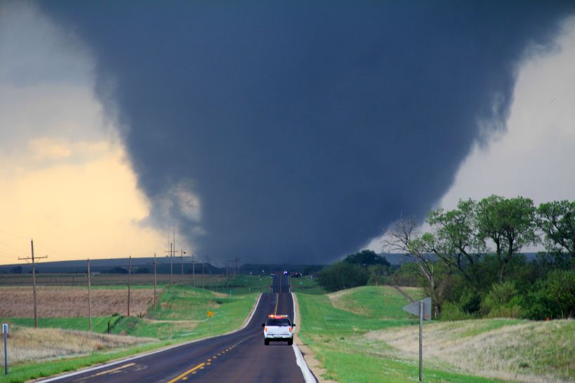
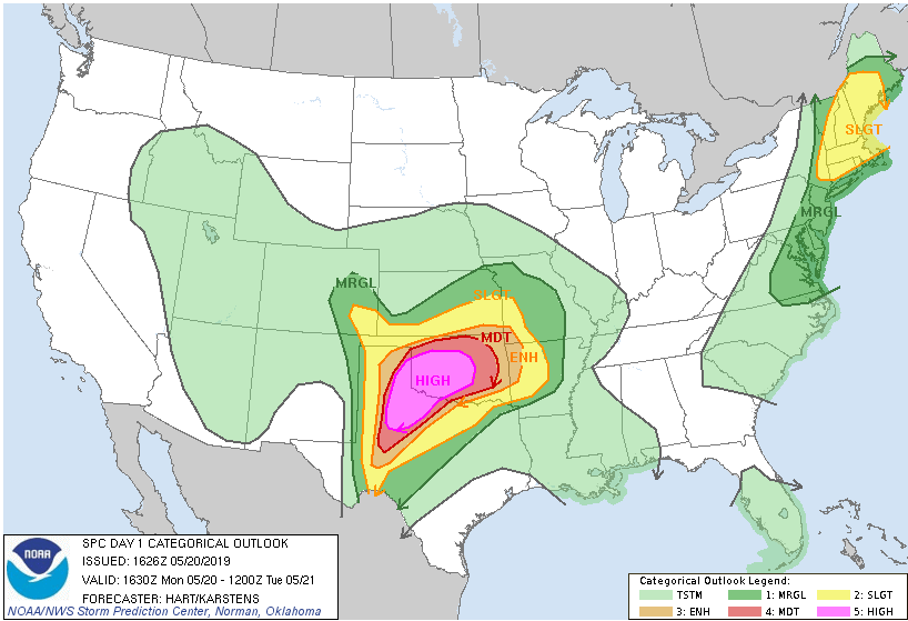
It is going to be a rough day in northern Texas and central Oklahoma. Conditions have lined up to create the first High Risk warning from the Storm Prediction Center in two years. As I often write, the weather is not climate; the climate is not the weather. The geography and intensity of this forecast are not out of the “norm,” despite High Risk warnings being rare. For the heart of Oklahoma and part of the Texas panhandle, there is a 45% chance of a tornado forming today, and a better than 10% chance that any given tornado will be EF-2 or stronger. In plain English, that means if you live in Oklahoma City, there is a 45% chance today that a tornado will touch the ground within 25 miles of where you are sitting. There is a 10% chance that tornado will be EF-2 or stronger. That kind of odds schools close and businesses send people home.
Tornado-producing supercells need several things to form. They need energy, and that comes in the form of high humidity. Dew points in the area are in the 70s, which is ridiculously high humidity. That is the kind of humidity where you walk out of the house, and your clothes stick to your body two minutes later. You need convection, you need high temperatures, and you can’t have a “cap,” that is a temperature inversion that traps warm air close to the surface. Finally, you need wind shear, that is the wind at different altitudes traveling in different directions, and you need a lot of wind shear. High dew points and unstable air can create amazing thunderstorms, but it is the wind shear that turns them into rotating supercells. There is one other element that enhances the development of tornadic producing storms, individual cell development. Thunderstorms that form in a line along a front can produce tornadoes, but the mechanics (which I’ll spare here) of the storms combine and act to moderate supercell and tornadic development within the cells. It is the stand-alone cells with a forecast model like today, that can form and produce the largest tornadoes.
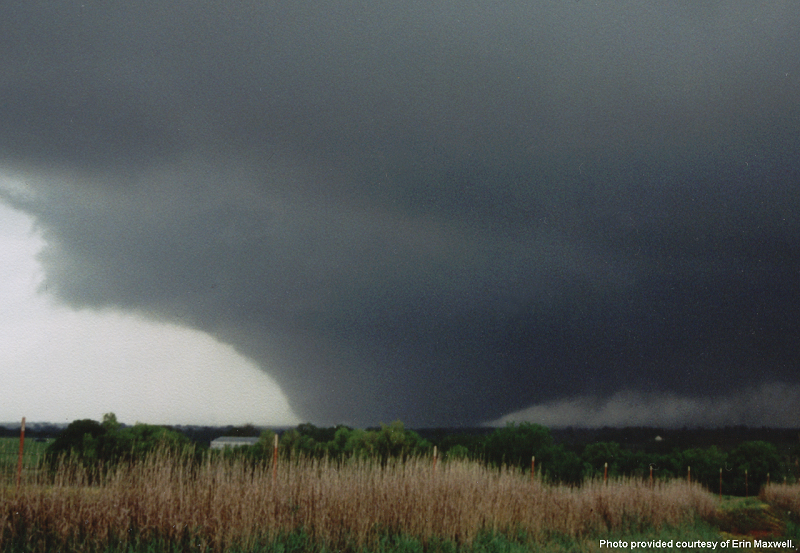
Tornado damage is measured using the Enhanced Fujita scale. Tetsuya Fujita and Allen Pearson developed the Fujita scale to measure the strength of tornadoes consistently and started using the scale in 1971. It was updated in 1973 and 2007 when it became the Enhanced Fujita Scale. The scale goes from EF-0 to EF-5. An EF-0 can raise your blood pressure, break large branches off a tree, take some shingles off the roof, crack some windows, and send the trash cans into the neighbor’s yard. An EF-5 can suck the pavement off of the ground, toss loaded rail cars like children’s toys, and leave nothing but a concrete slab behind when it passes over a house. The 1996 movie Twister may be loaded with pseudoscience and hyperbole, but the description of an EF-5 tornado as, “the finger of God,” is correct. As a civilian, there are only three ways to escape an EF-5, get out of its a path (never attempt to outrun a tornado), go underground, be in a specialized tornado shelter built to survive an EF-5 — the end.

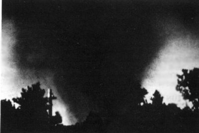
In addition to the extreme danger in the central Midwest, there is a more than a small chance for tornadoes in most of Connecticut, western and central Massachusetts, almost all of New Hampshire and the western part of Maine. This too isn’t an “unusual,” forecast for this time of the year. You might be surprised to learn that Massachusetts suffered one of the most destructive tornadoes in United States history in 1953. There remains debate among scientists if the Great Worcester Tornado was an EF-4 or EF-5 storm, and the damage has gone through an unprecedented review twice. For today the storm stands as a very strong EF-4.

Although watches, warnings, and forecast models have gotten much better, and research has gotten more extreme, the average warning times for tornadoes remains excruciatingly short. Yesterday, in a real-life Twister not based on Hollywood fantasy (I’m harsh, it is easy to call out everything the movie Twister got wrong, but it did get a lot right) Reed Timmer was able to drive his Dominator 3 vehicle into a tornado and get 3 drones deployed. As much as we may understand our world, we still don’t fully understand the mechanics of why some supercells produce tornadoes and others don’t. The more we can learn, the better we can understand what a tornadic supercell looks like in early development, and the earlier we can issue warnings. For that part, the movie Twister got 100% right. Stay safe out there, and if you live in one of these areas under an Enhanced, Moderate, or High Risk categorical forecast, keep your eye to the sky and have your survival plan in place.


