Health and Lifestyle
Heat Advisory issued for another round of record-breaking weather
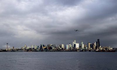
Seattle is poised to extend the record of days over 90 degrees in a single year on Thursday.

[KIRKLAND, Wash.] – (MTN) The National Weather Service has issued a Heat Advisory from noon Wednesday to midnight Thursday for Western Washington, with temperatures expected to flirt with the 90-degree mark. Seattle set a record for the most days in a year over 90 degrees and tied the record for the most days at or over 95 degrees in a year earlier this month.
It isn’t all bad news if you’re not a warm weather fan. The region has crossed over the point where 100 degrees are highly unlikely and inching closer to where 90-degree heat will be in the rearview mirror. So far, 2022 has been almost smoke-free. Air quality flirted with moderately unhealthy last week, with one afternoon providing orange-tinged afternoon light due to a layer of high-altitude smoke. Keen noses might have noticed the smell of smoke in the air on Monday evening.
Rest of Today
The afternoon will be pleasant for most, while old-school eastsiders might find it too warm. High temperatures will be 82 to 86 degrees under clear skies with winds from 5 to 10 MPH.

Tuesday Night
Temperatures will be pleasant, providing perfect sleeping with a low of 58 to 61 degrees.
Wednesday
Clouds may roll in and help moderate temperatures, making it difficult to break the 90-degree barrier. In the Bellevue-Kirkland-Woodinville area, highs will be 87 to 91 degrees under clear skies, with a light onshore flow forming toward the end of the day. Clouds will start to move in near sunset.
Wednesday Night
Partly to mostly cloudy skies will act like a blanket, while a weak onshore flow will hold back temperatures from dropping after sunset. Area lows will be 63 to 67. The onshore flow will shift overnight, causing humidity to climb.
Thursday
Partly to mostly cloudy skies won’t stop the mercury from climbing. Thursday morning will have the “it is going to be a hot day” feel as you head out the door. High temperatures will be 88 to 93 degrees. The dew point will be 63 to 65, which isn’t terrible, but will make the air feel a touch sticky.
Thursday Night
Cloud cover will once again act like a blanket that holds in the day’s heat. Low temperatures will be 63 to 66.
Friday Outlook
Friday and the rest of the weekend look to be partly cloudy, with highs in the 70s and 80s and pleasant sleeping weather returning.
Please Support Malcontent News
|
When you become a subscriber, you help us stay independent and paid advertiser free. A free press is a Constitutional right, but it doesn’t come free. Our core missions are showing you an unfiltered view of the before, during, and after, defend the First Amendment, and amplify BIPOC and LGBTQIA+ voices in an advertisement free experience. |
|
 |
For as little as $5 a month, you can support Malcontent News. Becoming a Patreon will help cover technology, data, bandwidth, and travel costs. Patreons get early access to content and a Discord server, virtual meetings with the staff, and private Zoom meetings. Subscribe NOW! |
 |
A one-time Venmo donation can help with safety gear, equipment, or a small thank you to show your appreciation for what Malcontent News provides. No amount is too small, even $5 goes a long way. Venmo NOW! |