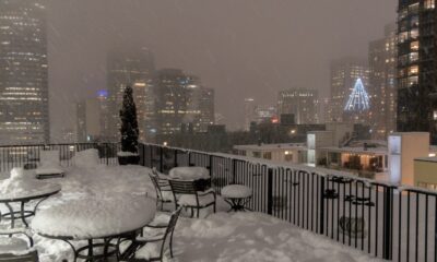

Four to eight inches of snow could blanket our local area between Thursday and Saturday.


A few stray flakes might show up for Super Bowl Sunday before an arctic blast reaches the region.
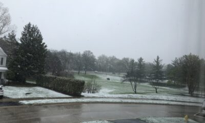

Colder and wetter weather is coming for next week, but lowland snow fans will be disappointed.


After a wet, windy, and warm start, January settles down into a drier cooler pattern.


The lowlands can expect 1-1/2 inches of rain while the Cascades could see up to 5 inches.


One of the driest and warmest starts to December will give way to rain, and a lot of it.


A sunny and warm weekend is on tap for Puget Sound.


French Toast Emergency for Tuesday with three squirts of syrup out of ten.
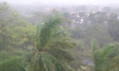

Iota is forecasted to hit the same region battered by Eta two weeks ago as a Category IV storm
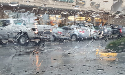

The system will be weaker than earlier models indicated but is delivering wind, rain, and snow to the region.
Your Comments